We have certainly made much progress in transforming our catchments into water sensitive suburbs over the last 20 years.
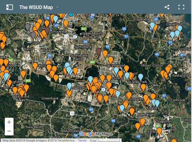
To give our audience an idea of the scale of distribution, WbD is featuring the WSUD Map created by Jack Mullaly at Ideanthro.com
The WSUD Map displays the location and details for stormwater treatment assets across the country. Please get in touch with Jack should you want to find out more.
The WSUD map has recently been updated with the locations of WaterWise Street Trees as featured in our Water Wise Street Tree Book